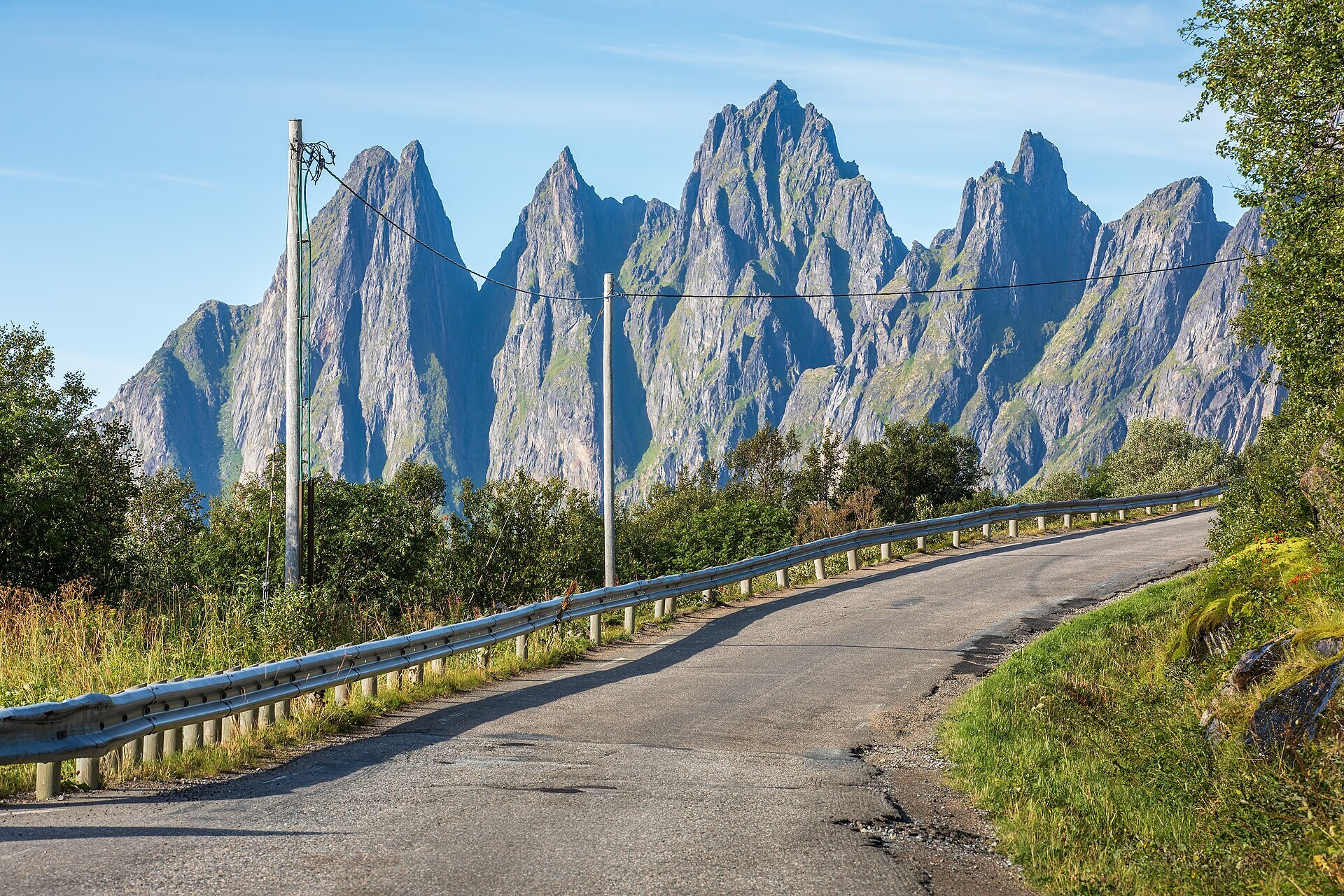
Segla rises straight out of the sea above Fjordgard, a slab of grey rock twisted into a horn shape that looks improbable from every angle. It is the most photographed peak on Senja and, for good reason, one of the busiest trails in summer. The hike is short on paper, roughly 5 to 6 kilometres round trip, but steep enough that it punishes anyone who treats it as a stroll. This guide covers the practical side: where to start, how long to budget, what the terrain actually does underfoot, and how to read the weather before committing.
Trailhead and approach
The marked trail starts near Fjordgard, a small fishing village on Senja's western side, reachable by road from Silsand or Finnsnes in about an hour depending on conditions. Parking is informal and limited, a gravel area fills quickly on clear days between June and August. Arrive before 09:00 in high season if you want a spot without circling. There is no shuttle service to the trailhead; check the day's schedule for any local transport options before assuming one exists.
Distance, elevation, and timing
From the car park to the summit ridge is roughly 2.5 kilometres one way, gaining about 630 metres of elevation. Most hikers take 2 to 3 hours up and 1.5 to 2 hours down, so budget 4 to 5 hours total including a pause at the top. The first third follows a reasonably gentle path through birch scrub. The middle section steepens sharply over loose scree and exposed rock, and the final approach to the ridge involves scrambling with hands as well as feet. This is not a technical climb, no rope is needed on the standard route, but it is not a casual walk either.
Difficulty and who should attempt it
Segla is rated as a demanding hike, comparable to Senja's other scree-and-scramble peaks rather than the gentler coastal paths. Good ankle support matters, as does a reasonable level of fitness: this is sustained climbing, not flat distance. Children can manage it if experienced with scrambling, but the exposed sections near the top are not forgiving of a stumble. In wet weather, the rock turns slick and the descent becomes noticeably slower and riskier than the ascent. If rain has fallen in the previous 24 hours, expect the lower scree to be loose and muddy.
Midsummer gives near-constant daylight, so an evening start around 18:00 to 19:00 often means a quieter trail and softer light on the fjord below, without racing a sunset. Outside the light-season months, check sunrise and sunset times for the day and plan the descent with a margin before dusk.
Weather and seasonal notes
Wind is the main hazard on the ridge itself, where gusts can be considerably stronger than at the trailhead. Checking a wind forecast specific to the summit, not just the village below, is worth the extra few minutes. The hike is typically done from June through September; snow can linger into early summer on shaded sections, and an early autumn return is possible depending on the year's conditions, so check current trail reports before planning outside the core season. Winter ascents are undertaken by experienced mountaineers with proper equipment and are not covered by this guide.
What the summit actually gives you
The ridge opens onto views over Mefjorden to one side and the open sea on the other, with the fjord villages laid out far below. On a clear day the panorama extends toward other Senja peaks and, weather permitting, toward the mainland mountains. There is no barrier at the top, the exposure is real, and photographers should be deliberate rather than casual near the edge. Many hikers stop just short of the final knife-edge section, which is narrower and more exposed than the approach, and the view from there is still substantial.
Practical preparation
Bring more water than feels necessary, there is no source on the trail. Sturdy boots with grip are non-negotiable given the scree. A light shell handles the wind even on an otherwise warm day, since temperature drops noticeably at elevation. Trekking poles help on the descent, where the scree is more tiring on the knees than the climb up. There is no fee to hike Segla and no booking required, though respecting the informal parking area and not blocking local access roads matters in a small village with limited space.